Route 6A

Old King's Highway

Cape Cod's Route 6A, also known as Old King’s Highway, is one of America’s most iconic byways and comprises the largest contiguous historic district in the United States. In 2021, Old King’s Highway achieved National Scenic Byway Status. This designation makes it one of only four in Massachusetts!

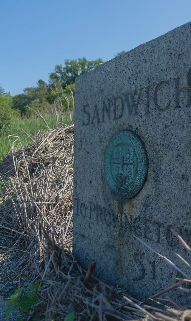
Most people consider Old King's Highway the section of east-west roadway on the northern side of Cape Cod between the towns of Bourne (just east of the Sagamore Bridge) and Orleans (ending at the Orleans Rotary). Route 6A also extends all the way to Provincetown, however, it does not exist as a standalone roadway in the towns of Eastham and Wellfleet and the village of South Truro, where it vanishes within US Route 6. Route 6A re-emerges in North Truro at Shore Road and extends all the way to Provincetown, where it ends at the US Route 6 junction at Herring Cove.

In all, Route 6A traverses about 62 spectacularly scenic miles from end to end. Click here for some great points of interest along Old Kings Highway, and check out the Cape Cod Travel Guide article "Cruisin' Route 6A!"

Historical Significance    
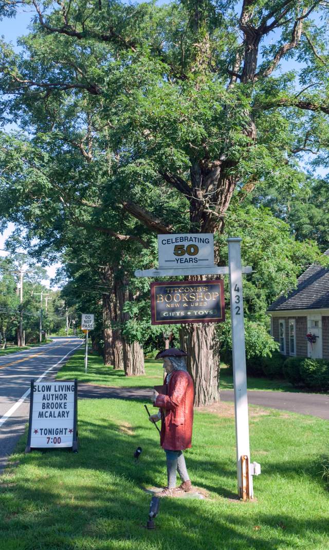
Located within the Old King's Highway district are original examples of the many periods of American architecture dating back to the 17th, 18th, 19th, and 20th centuries. Unlike many other historic districts, which epitomize only a specific time in architectural history, Old King’s Highway reflects a changing evolution. As a living district with more than 45,000 residents, change is a constant. The recycling of a large sea captain’s home to a stately B&B or capturing an appearance from the past in a modern home or residence is an important part of the role-played by the entire Regional Historic District. Along a two-mile stretch of Route 6A in Yarmouth Port, there exists an eclectic array of structures housing private residences, B&Bs, antique shops, restaurants and galleries - not one of which was built in the 20th or 21st century.

In addition to four centuries of architecture located along this route, very old stone walls and cemeteries, antiques shops, boutiques, general stores, and other distinctive sights and attractions can be viewed. Also, set ¼ mile back from the 6A roadway, the alleged site of the Wampanoag sachem Iyanough’s gravesite can be visited in Barnstable. Lyanough aided the Mayflower Pilgrims during their short stay on the Cape and, afterward, assisted settlers as well.

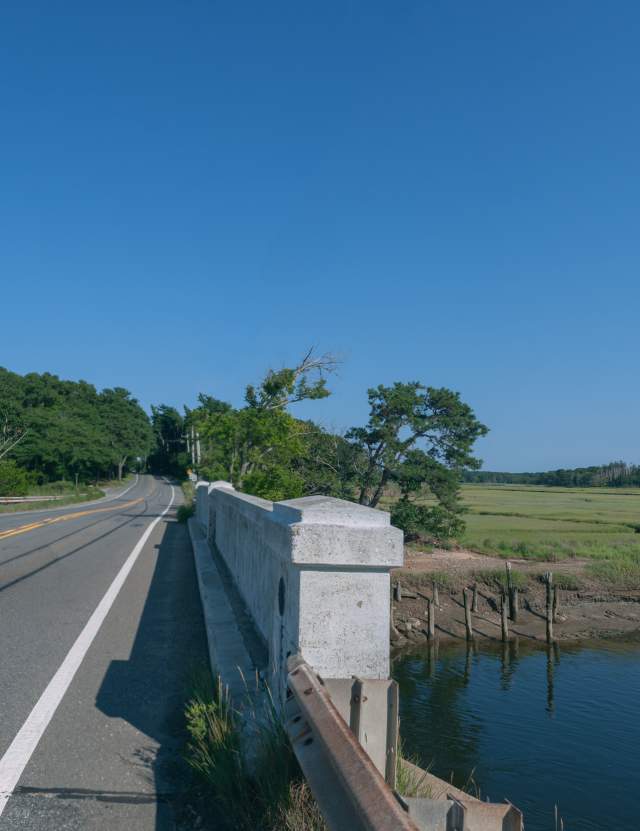
Originally the path was a Native American trail and trade route traveled for possibly thousands of years and later became a cart path for early settlers. It dates to pre-colonial times as a trail connecting Native American encampments and villages. When the Mayflower Pilgrims arrived, they used it for their carts and wagons, which widened the path. The initial European settlers from four centuries ago traveled this route from Plymouth and beyond. It was alleged that the Royal Mail used this road to move correspondence. During the 17th century, the path became an extension to the Plymouth Colony’s ‘King’s Highway’ but today, Route 6A still follows much of the original cart path which has Cape Cod Bay on the north side and inlets, creeks, marshes and small tidal rivers punctuating the landscape. With the emergence of cars in the early 1900s, the trail changed again and was prepared to accommodate motorized vehicles.

Accolades
Today, the road is described by National Geographic as one of the World’s Most Scenic Drives; Yankee Magazine has declared it iconic and timeless, and Smithsonian Magazine described it as the most appealing stretch of highway in America. In 2021, Old King’s Highway achieved National Scenic Byway Status. Museums, antique shops, theaters, bed & breakfasts, inns, and restaurants are ubiquitous, while maintaining the district’s charming small village character.

Recreation
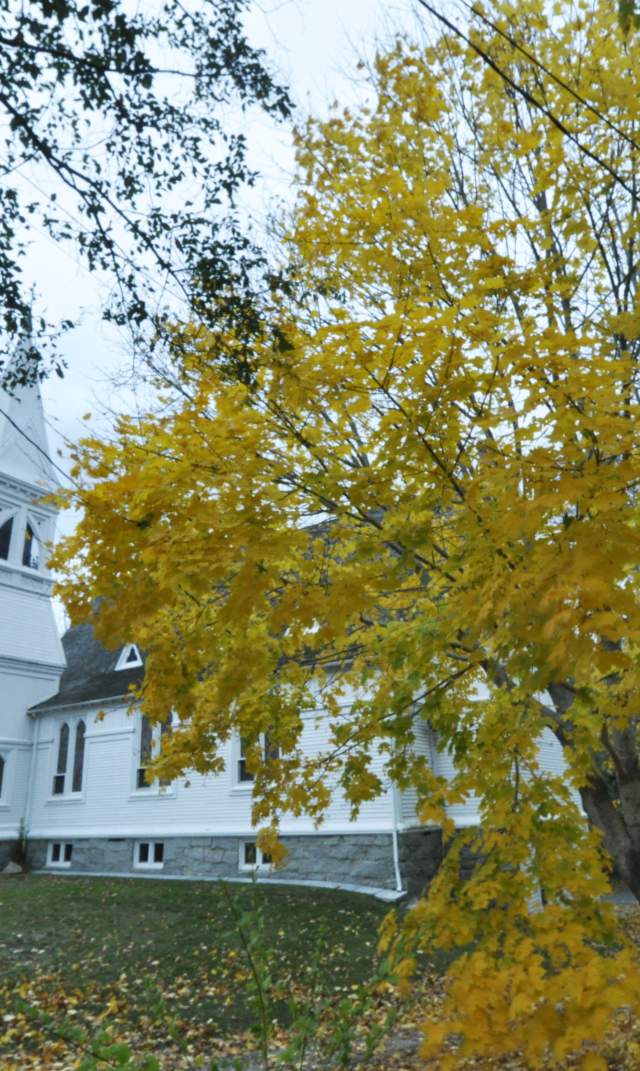
This particularly scenic byway often follows along the coast as it passes through most Cape towns (excluding Eastham, Wellfleet and the part of Truro called South Truro). Many visitors come to drive its meandering length and experience one of America’s largest historic districts. Travelers on Old King's Highway can see hundreds of historic sites ranging from sea captains’ houses, Pilgrim and other churches, in addition to hundreds of historic and period buildings. Other points of interest include cranberry bogs, salt marshes, and preserved farmlands, and walking and hiking trails abound off the roadway. Local citizens have made significant efforts to ensure that this area is clean and well preserved. Visitors will find many newly painted houses and yards with flowers and professional landscaping.

In each of the Cape Cod towns Route 6A traverses, it is alternately called a street name and Route 6A.

These names are:
Bourne: Sandwich Road
Sandwich: Route 6A
Barnstable: Main Street
Yarmouth: Main Street
Dennis: Kings Highway
Brewster: Main Street
Orleans: Cranberry Highway
Truro: Shore Road
Provincetown: Commercial Street (1 mile), Bradford Street (2½ miles), Province Lands Road (1 mile)

Spotlight on Cape Cod